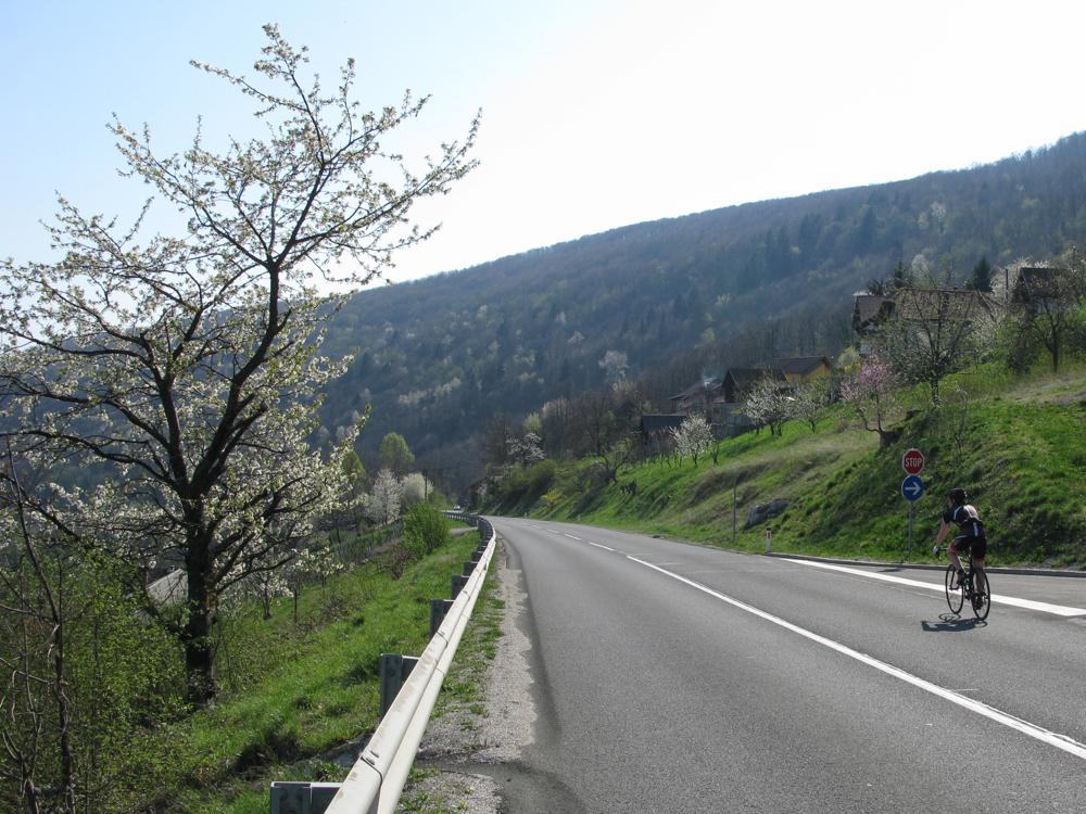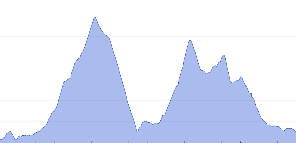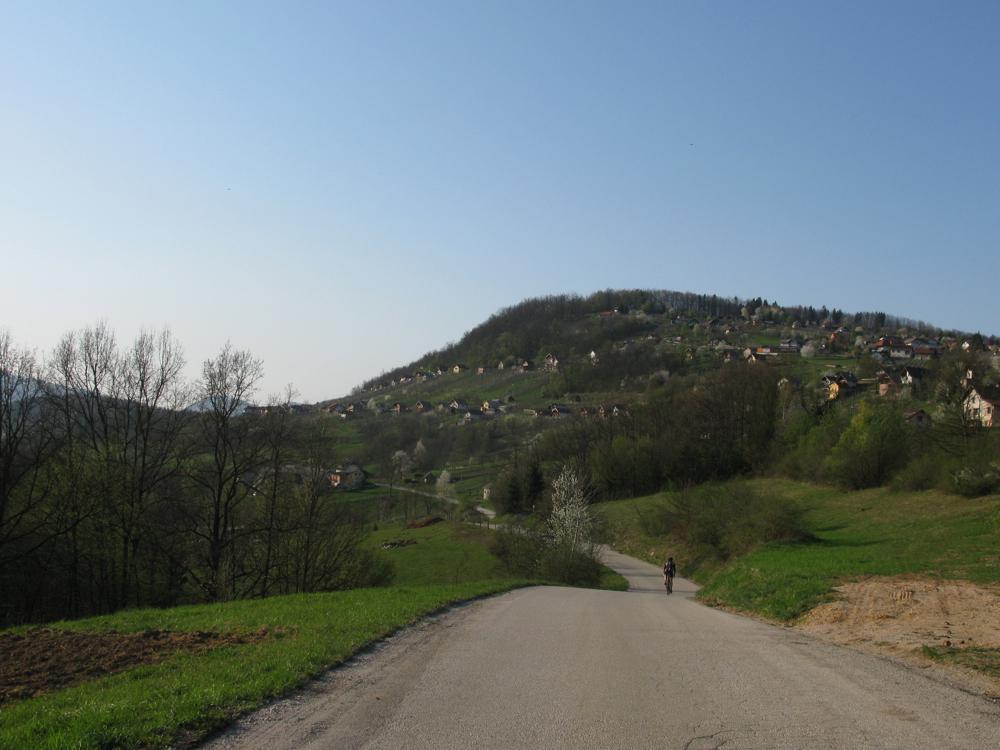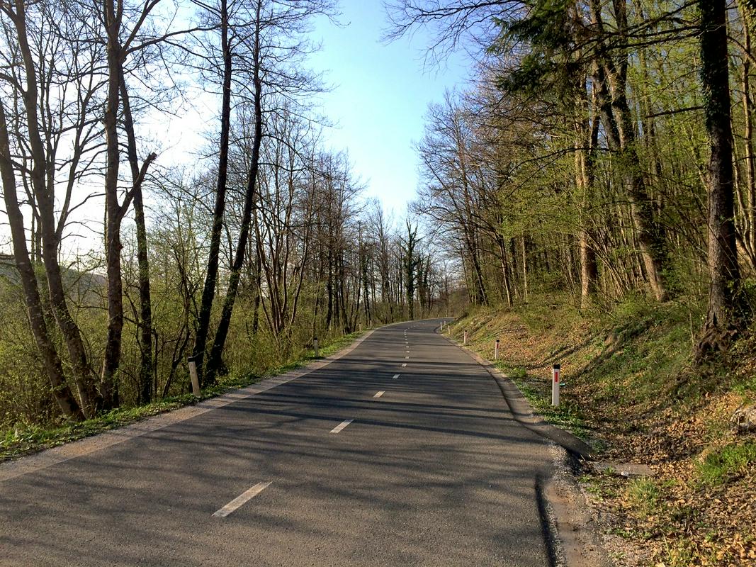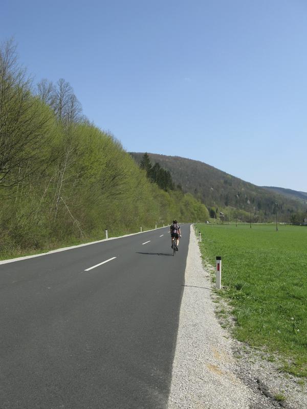
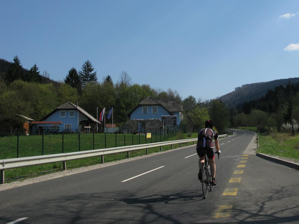
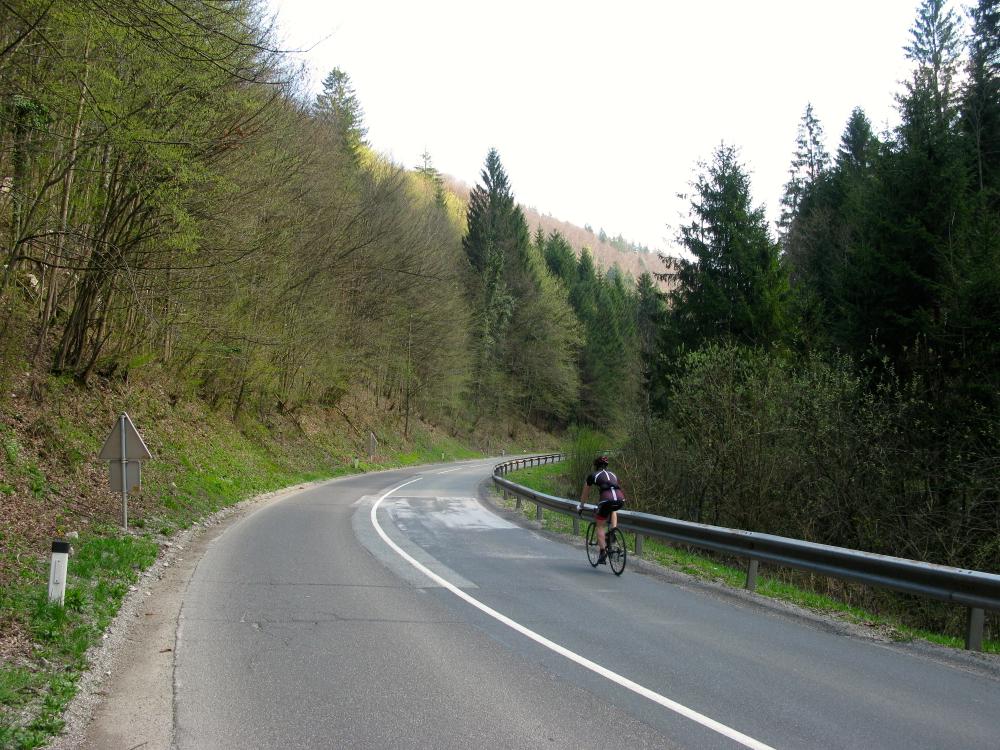
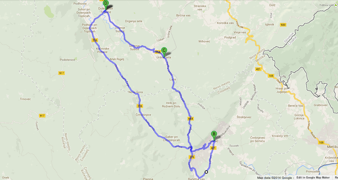
The two kilometres leading from Dolenjske Toplice are level, just right for warming up. You will cycle by Selo towards the main road leading into Bela Krajina, which you will join in Podturn. From here for the next 15 kilometres the road goes mostly climbs, but not too steeply – even the most steep parts hardly ever rise over 6 % incline. In the beginning the good road winds through the charming Moschnitze valley (Črmošnjško-Poljanska dolina, the centre of the Gottscheers, as shown on the signs along the road).
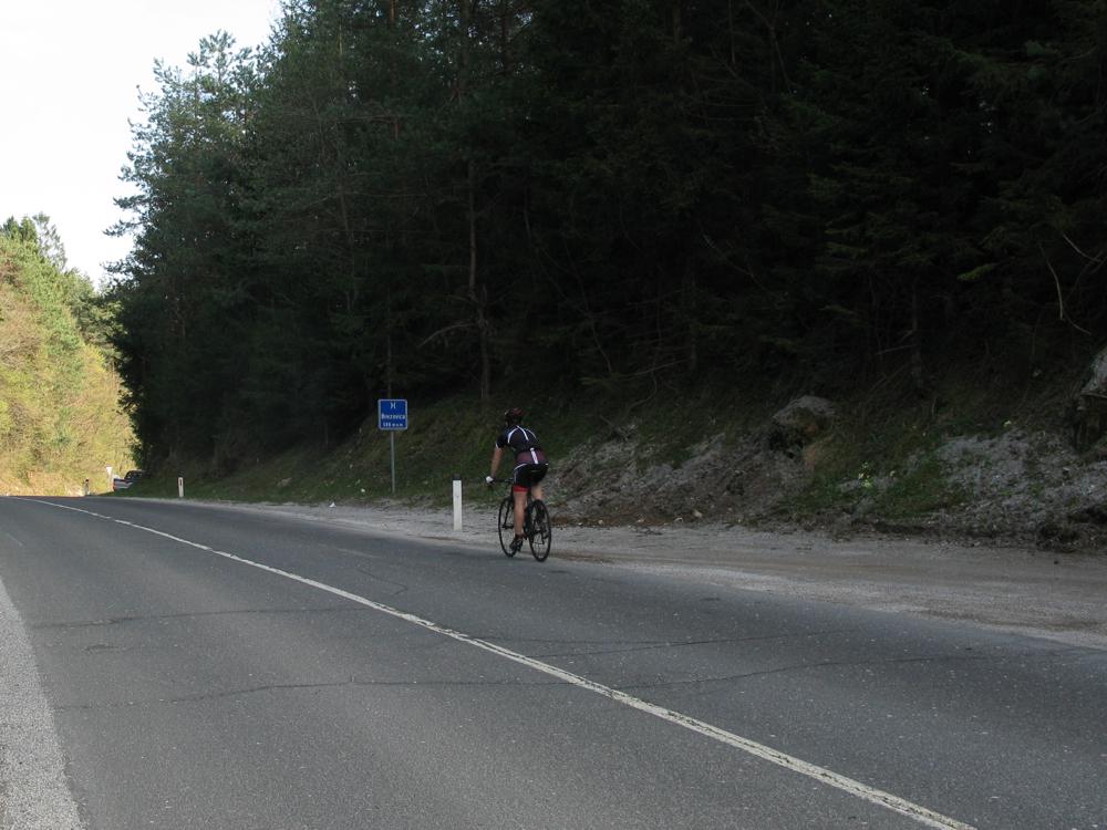
After approximately five kilometres the road narrows through the Črmošnjičice gorge. In hot summer months you will appreciate the gorge and the shadow of the number of trees. From here on for the next 7 kilometres, all the way to the Brezovica pass (588 metres), the road leads gently uphill.
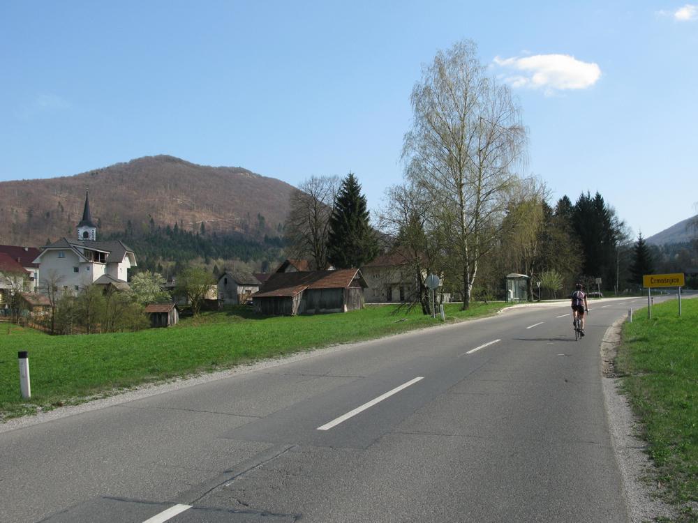
For some time you continue through a forest, but when you reach the village Črmošnjice below Mirna gora the view opens again. Two more kilometres will bring you to the pass which is the highest point of this cycling tour. All the way to Semič you will enjoy in a pleasant descent.
One of the most beautiful views (and cycling descents) in our country
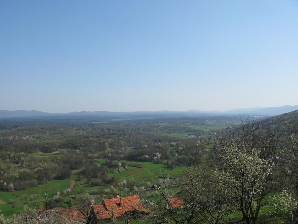
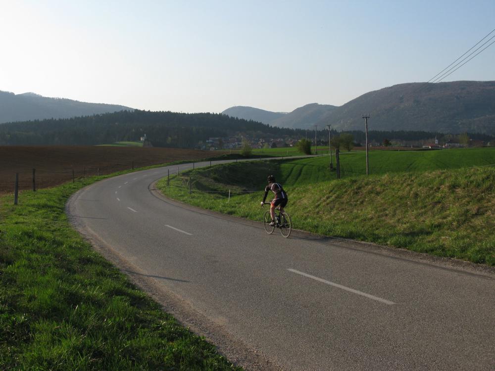
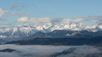
While speeding through Vrčice and into a large right hairpin bend a welcoming sign will greet you – Welcome to White Carniola (Dobrodošli v Beli krajini). On your left you will notice a signpost for Uršna sela (on your way back you will be coming from that direction), and after only a couple of more turns you will behold one of the most beautiful views in our country: Bela krajina unfolding to your eyes.
In order to enjoy the view (and a pleasant descent) as long as possible, we suggest you don't turn towards the centre of Semič, but continue along the main road towards Črnomelj, and then turn towards Semič in Ručetna vas. It really is worth travelling a couple of extra kilometres.
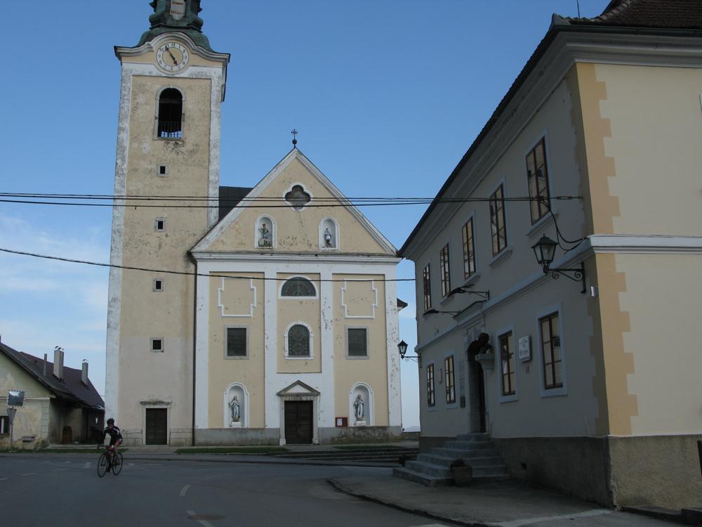
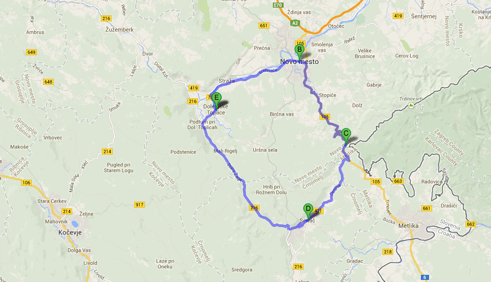
Semič lies approximately in the middle of the route. If you take our advice and take the scenic route, you will have already travelled 25 kilometres, and some 21 kilometres more will be ahead of you in order to reach the finish in Dolenjske Toplice. Go through the centre of Semič, past the church and the town hall, and then uphill through a number of hairpin turns. Along the next three kilometres, before joining the main road, you will be again able to admire a lovely view.
At the time this article is being written this road was closed for repair, but only during week days. Probably you could squeeze through by bike also during the working hours – if not, there is a detour.
Length: 46 kilometres
Total ascent: 700 metres
Duration: two and a half hours
Difficulty: 3/5
The route through Uršna sela is more picturesque than through Črmošnjice
Soon after passing the hairpin turns above Semič and joining the main road, after some 10 metres, the road turns right into a gentle slope and leads for 11 very picturesque kilometres to Uršna sela. The road winds up and down through a light beech forest, passes Prelog and Laz, and Rožni Dol next to the railway connecting Bela krajina with Novo mesto.
In Uršna sela you need to turn left in the direction of Dolenjske Toplice; a signpost will show the remaining distance of 8 km. It is mostly downhill for approximately 200 metres. The road offering nice views continues through Gorenje and Dolenje Sušice, and you will be soon able to see Dolenjske Toplice, your destination. Once you reach the point from where you started, you will have travelled 46 kilometres, and climbed 700 metres of altitude.
The route across Gorjanci Mountains for those who want more
If you find the route described here too easy for you, but would still like to start from Dolenjske Toplice, you should first ride 14 kilometres to Novo mesto, and then start uphill towards Metlika. The road reaches the pass Vahta 400 metres higher, and 13 kilometres from the crossing of Kandijska and Belokranjska roads in Novo mesto. While cycling down into Bela krajina take care not to miss the sign for Semič in Jugorje, pointing right.
10 kilometres of the road to Semič are mainly downhill, so you will be able to rest from the exertion of climbing to Vahta pass. Once you reach Semič you can either follow the above described route back through Uršna sela, which is more diverse, or go straight to Dolenjske Toplice through Črmošnjice. Whichever you decide on, the distance will be just under 60 kilometres.
Cycling through Dolenjska, especially through Bela krajina, offers a number of pleasant cycling routes of various difficulties. It is not surprising that our professional cyclist Jani Brajkovič likes to train on one of these roads – from Novo mesto through Vahta to Črnomelj, Semič and Uršna sela. Perhaps you will even meet him – and as a true cyclist he never fails to greet other cyclists.
Uroš Bonšek, foto: Alenka Ropret
Translated by G. K.


