


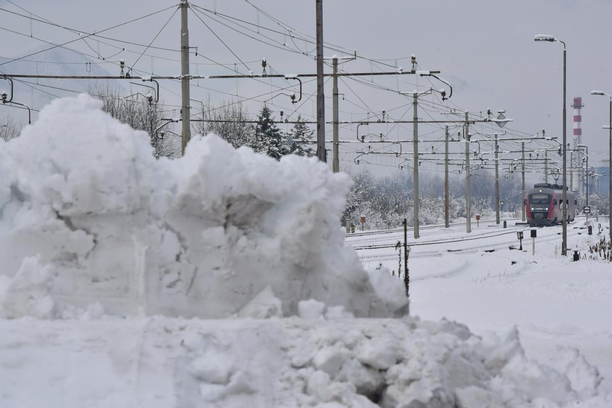
Due to fallen trees traffic on the Ljubljana-Zidani Most and Zidani Most-Celje railway line was blocked, and the road Trbovlje-Dobovec was closed. On-call electricians from power suppliers and firefighters have been doing fieldwork since late Friday night, TV Slovenija reports.
The Traffic Information Centre warns all drivers to adapt to conditions on the road caused by the snow, and should expect a longer travel time. Vehicles must have suitable winter equipment.
On Sunday morning the temperature would drop to between -5 and -16 degrees Celsius and about zero degrees by the coast, reported the Slovenian Environment Agency.
Sunday skies will start off mostly clear but will gradually become overcast by cloudiness from the West. In the afternoon, the coastal regions will get some rain while it may snow in central parts. The north-western parts of the country, however, will have dry weather. A south-western wind will pick up speed. Highest daily temperatures will range from -2 to 5 degrees Celsius, and up to 9 on the coast. Early evening is expected to be the warmest part of the day.
On Sunday evening and in the early hours of Monday the snow in central low-lying areas will turn into rain again except for mountainous areas 1,800 metres above the sea level and more. The North-East will remain dry. A strong southern to southwestern wind is not likely to weaken before Tuesday while precipitation is expected to stop on Monday afternoon in most areas. Cloudy weather with occasional rain is forecast in the western part of the country for Tuesday while the eastern part will not experience much rainfall.