According to Environment Minister Irena Majcen, the project, whose full title is The Modernization of Spatial Data Infrastructure for Reducing the Risk of Flooding, will result in new, more accurate information about the location and the nature of protective measures that are still needed to reduce flood damage. Data from the measurements will soon be available online free of charge, she added. Not all the data is from the most recent survey, however. According to the minister, the team wishes to make even the most recent data available to the public, but that depends on the availability of EU funds. All data is expected to be available by 2020.
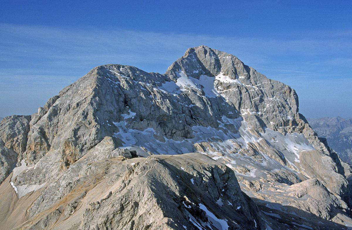
Jurij Režek, who oversees the project, said that the data from the new measurements will be used for new geolocational products in the future. The benefits will not be apparent to ordinary citizens at first, but they will be in the future. With the adoption of the new altitude-measuring system, the reference point was moved from Trieste, where it had been since the time of Maria Theresa, to Koper, resulting in a reference point that is 17 centimeters lower, he explained. The most recent, precise measurements have resulted in a change of the official altitude for Triglav from 2863.99 meters, measured in 1985, to 2863.65 meters.
New measurements have real-world consequences
Members of the ream have made the most precise geoid of Slovenia ever. This is a three-dimensional model of Slovenia’s surface, which is substantially better than the previous one from 2000. They also redefined Slovenia’s hydrographic network. For instance, the previous geoid had margin of error of up to 20 centimeters, while the new one stays within a margin of five to ten centimeters. This can have important consequences in real-life. Režek gives an example of a dam that is 30 centimeters too low. Water that overflows from such a dam can flood several hectares more, he explained.
The dean of the Ljubljana Faculty of Engineering Matjaž Mikoš adds that the mew data enables better estimates of natural hazards, which is particularly important in Slovenia because of the highly-dispersed population and a high density of infrastructure. New measurements show buildings and accompanying structures to a definition of several centimeters. "This way, we will be able to analyze a flood-prone area and see where the escarpments and levees are located, allowing us to prepare more precise simulations and natural disaster scenarios," he added, explaining the project’s practical benefits.
Andrej Čebokli; Translated by J. B.


